
|
|
Lignières: Then and Now |
|
Move mouse over image for contemporary view; move mouse outside
for historical image.
If image doesn't change, click image to toggle between “then”
and “now” views.
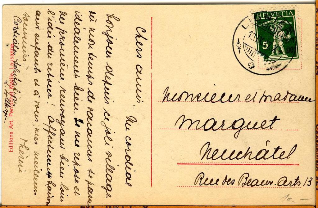
The historical photograph is courtesy of M. Werner Löffel of Lignières, who kindly contributed images of his post card collection to the archives of the Fondation de l'Hôtel de Commune de Lignières.
|
by John Walker May, 2007 |
|
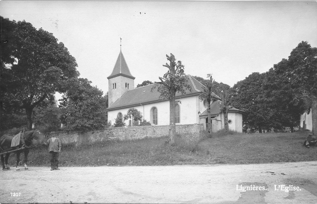
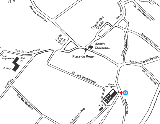
Walking around the curve in Rue du Montilier and then turning and looking toward the northwest, we see this view of the Temple de Lignières (Place de l'Eglise, RACN 010-6456-00197).
The medieval structure was largely demolished in 1828; only part of the foundation, the entrance to the chapel, the tabernacle, and a decorated keystone of the original vault remain. The church took its present form, preserving the existing bell tower, in the reconstruction of 1828, and was dedicated on the 9th of November of that year. The building was largely destroyed by a fire on December 21, 1913, and restored almost exactly in 1914–1915.
This post card was mailed in 1917, and probably shows the church post-restoration. The view from the other side at our last stop, from a card mailed in 1908, is necessarily before the fire. Look at how the trees have grown in ninety-odd years!